


anse des paulilles - cap bear / retour par les vignes

stef789
User GUIDE
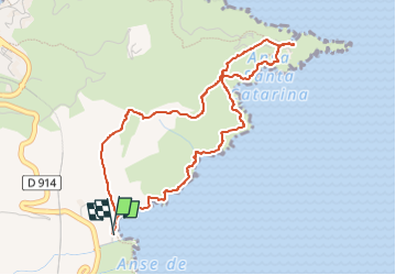

Length
5 km

Max alt
87 m

Uphill gradient
161 m
Km-Effort
7.1 km

Min alt
0 m

Downhill gradient
161 m
Boucle
Yes
Creation date :
2024-02-25 13:31:42.676
Updated on :
2024-02-25 16:13:35.994
2h41
Difficulty : Medium

FREE GPS app for hiking
 SityTrail
IGN / Geographical institutes
SityTrail Plus
The world is yours!
About
Trail Walking of 5 km to be discovered at Occitania, Pyrénées-Orientales, Port-Vendres. This trail is proposed by stef789.
Description
impossible de se garer ici l été...
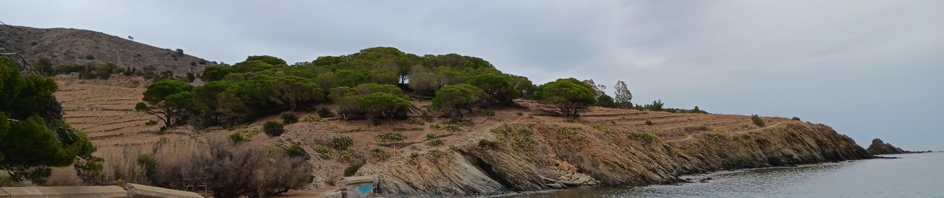
Photos


25 photos in total. Please click on a photo to see them all in the gallery.
Positioning
Country:
France
Region :
Occitania
Department/Province :
Pyrénées-Orientales
Municipality :
Port-Vendres
Location:
Unknown
Start:(Dec)
Start:(UTM)
510066 ; 4705846 (31T) N.
Comments