


Vinay-Serre de TrellinsPlaine-Pont de Treillins

crocau
User


Length
10 km

Max alt
287 m

Uphill gradient
129 m
Km-Effort
11.7 km

Min alt
187 m

Downhill gradient
128 m
Boucle
Yes
Creation date :
2024-02-25 15:52:12.061
Updated on :
2024-10-30 00:03:17.742
1h11
Difficulty : Very easy

FREE GPS app for hiking
 SityTrail
IGN / Geographical institutes
SityTrail Plus
The world is yours!
About
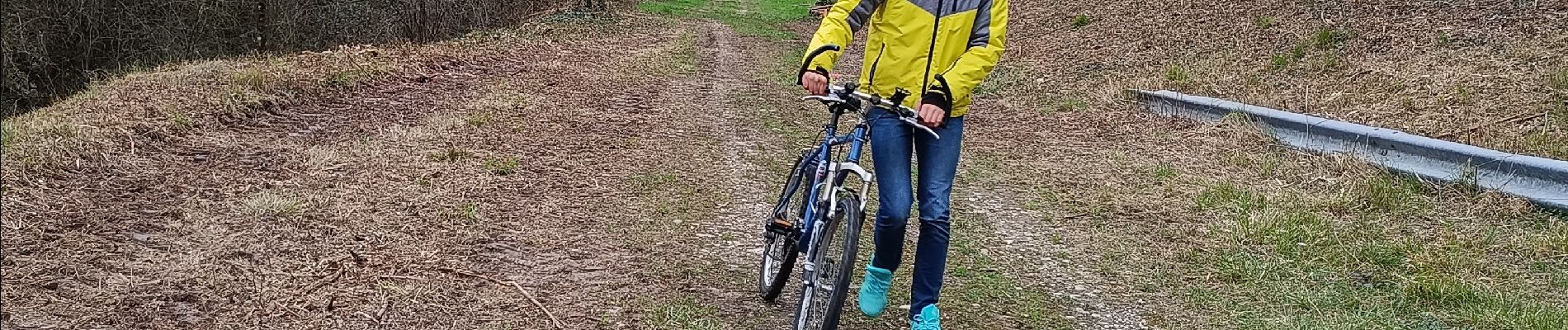
Trail Mountain bike of 10 km to be discovered at Auvergne-Rhône-Alpes, Isère, Vinay. This trail is proposed by crocau.
Description
portion de la 63
Photos


Positioning
Country:
France
Region :
Auvergne-Rhône-Alpes
Department/Province :
Isère
Municipality :
Vinay
Location:
Unknown
Start:(Dec)
Start:(UTM)
688489 ; 5008873 (31T) N.
Comments