


18 avril Viterne

Nila81
User

Length
15.1 km

Max alt
363 m

Uphill gradient
240 m
Km-Effort
18.3 km

Min alt
274 m

Downhill gradient
240 m
Boucle
Yes
Creation date :
2024-02-28 18:41:59.77
Updated on :
2024-04-17 11:59:21.973
4h08
Difficulty : Difficult

FREE GPS app for hiking
 SityTrail
IGN / Geographical institutes
SityTrail Plus
The world is yours!
About
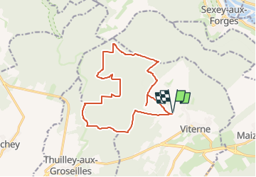
Trail Walking of 15.1 km to be discovered at Grand Est, Meurthe-et-Moselle, Viterne. This trail is proposed by Nila81.
Description
depart stade 18 avril Viterne
Positioning
Country:
France
Region :
Grand Est
Department/Province :
Meurthe-et-Moselle
Municipality :
Viterne
Location:
Unknown
Start:(Dec)
Start:(UTM)
280395 ; 5386356 (32U) N.
Comments