


Lauret

Dupuybadonniere
User
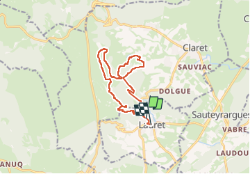

Length
14.2 km

Max alt
400 m

Uphill gradient
451 m
Km-Effort
20 km

Min alt
160 m

Downhill gradient
454 m
Boucle
No
Creation date :
2024-02-29 08:17:05.996
Updated on :
2024-02-29 13:23:12.533
3h17
Difficulty : Difficult

FREE GPS app for hiking
 SityTrail
IGN / Geographical institutes
SityTrail Plus
The world is yours!
About
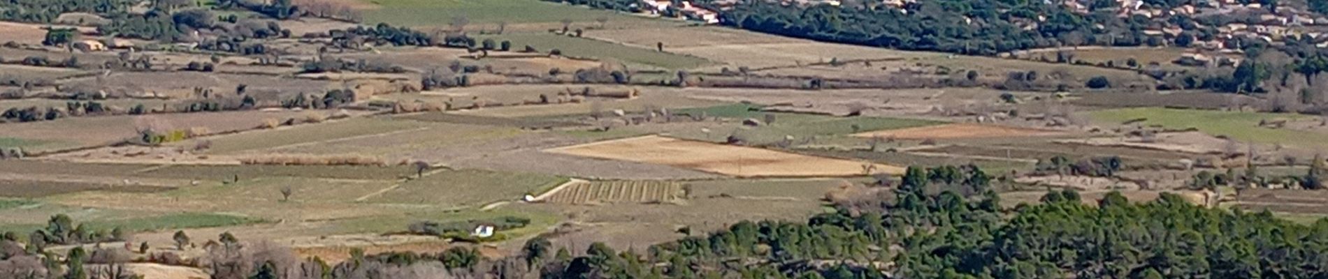
Trail Walking of 14.2 km to be discovered at Occitania, Hérault, Lauret. This trail is proposed by Dupuybadonniere.
Photos


Positioning
Country:
France
Region :
Occitania
Department/Province :
Hérault
Municipality :
Lauret
Location:
Unknown
Start:(Dec)
Start:(UTM)
570886 ; 4854112 (31T) N.
Comments