


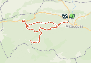
De Mazaugues vers la glacière Pivaut

FSantoni
User


7h01
Difficulty : Very difficult

FREE GPS app for hiking
 SityTrail
IGN / Geographical institutes
SityTrail Plus
The world is yours!
About
Trail Walking of 22 km to be discovered at Provence-Alpes-Côte d'Azur, Var, Mazaugues. This trail is proposed by FSantoni.
Description
Beaucoup de pistes (pas forcément ce que je préfère) sur une bonne partie de cette rando.
En notant que le bout d'aller-retour en bas du plan est à éviter car il ne débouche sur rien d’intéressant, en tout cas pour aller vers la glacière Pivaut, qui était le but de notre balade.
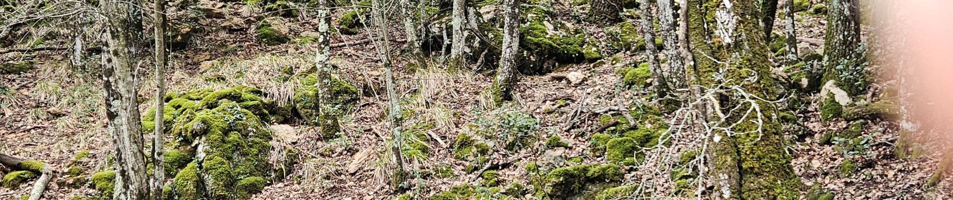
Il reste cependant de beaux paysages, une belle vue vers le mourre d'Agnis, des houx magnifiques et une visite instructive de la glacière Pivaut, en excellent état de restauration.
Photos


27 photos in total. Please click on a photo to see them all in the gallery.
Positioning
Comments