


Bras 17 Km

Efr
User
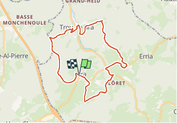

Length
16.7 km

Max alt
457 m

Uphill gradient
506 m
Km-Effort
23 km

Min alt
275 m

Downhill gradient
508 m
Boucle
Yes
Creation date :
2024-03-02 08:26:38.0
Updated on :
2024-03-02 17:52:19.365
5h19
Difficulty : Medium
5h19
Difficulty : Very difficult

FREE GPS app for hiking
 SityTrail
IGN / Geographical institutes
SityTrail Plus
The world is yours!
About
Trail On foot of 16.7 km to be discovered at Wallonia, Liège, Lierneux. This trail is proposed by Efr.
Description
Depart: Rue coulee a Bras (4990 Lierneux)
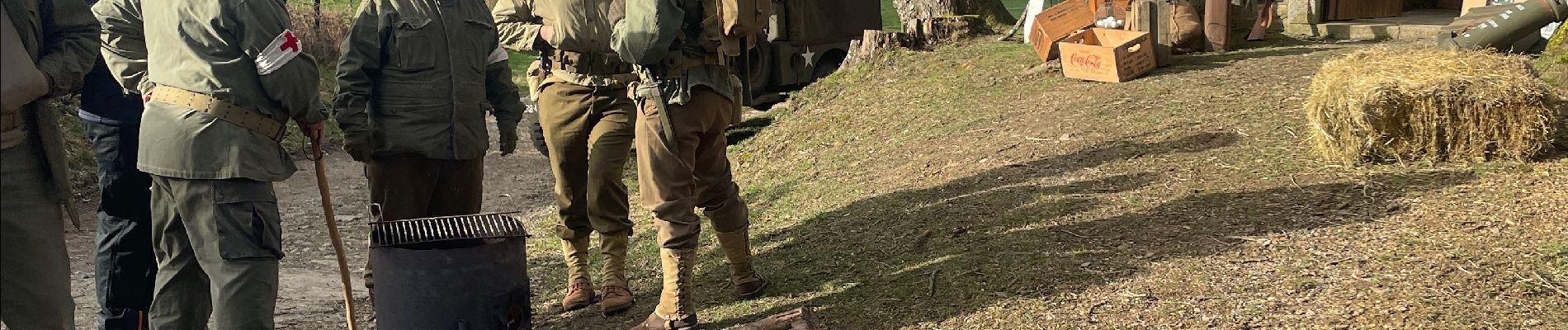
Photos


Positioning
Country:
Belgium
Region :
Wallonia
Department/Province :
Liège
Municipality :
Lierneux
Location:
Unknown
Start:(Dec)
Start:(UTM)
694499 ; 5578224 (31U) N.
Comments
