


Tour le + long actuel circuit

CDSM 55
User
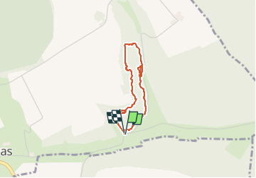

Length
2.7 km

Max alt
383 m

Uphill gradient
54 m
Km-Effort
3.4 km

Min alt
328 m

Downhill gradient
53 m
Boucle
Yes
Creation date :
2024-03-08 15:52:16.239
Updated on :
2024-03-08 17:01:57.581
53m
Difficulty : Easy

FREE GPS app for hiking
 SityTrail
IGN / Geographical institutes
SityTrail Plus
The world is yours!
About
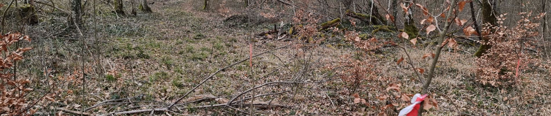
Trail Walking of 2.7 km to be discovered at Grand Est, Meuse, Vouthon-Bas. This trail is proposed by CDSM 55.
Photos

Positioning
Country:
France
Region :
Grand Est
Department/Province :
Meuse
Municipality :
Vouthon-Bas
Location:
Unknown
Start:(Dec)
Start:(UTM)
694037 ; 5373482 (31U) N.
Comments