Trail Walking Terres-de-Haute-Charente - La balade de GENOUILLAC - Photo
© OpenStreetMap contributors
Length
Length
7.3 km
Max alt
Max alt
233 m
Uphill gradient
Uphill gradient
137 m
Km-Effort
Km-Effort  
9.1 km
Min alt
Min alt
162 m
Downhill gradient
Downhill gradient
135 m
Boucle
Boucle
Yes
Creation date :
2015-03-19 00:00:00.0
Updated on :
2015-03-19 00:00:00.0

(0 Reviews)

Walking
Walking
2h07
Difficulty : Unknown

Scan this QR Code to open this trail in the SityTrail application

FREE GPS app for hiking

Logo SityTrail SityTrail

IGN / Geographical institutes

Download SityTrail from the App Store Download SityTrail from Google Play

Logo SityTrail SityTrail World

The world is yours!

Download SityTrail from the App Store Download SityTrail from Google Play Download SityTrail on Huawei AppGallery

About

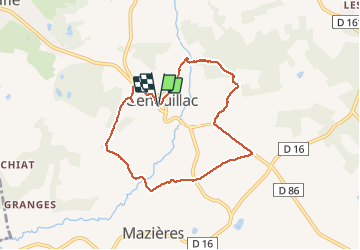
Trail Walking of 7.3 km to be discovered at New Aquitaine, Charente, Terres-de-Haute-Charente. This trail is proposed by alainjoseph6.

Description

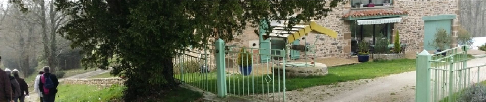
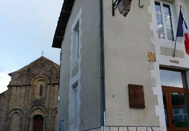
Superbe randonnée avec découverte des petits villages

Elevation profile

Photos

Positioning

Country:
France
Region :
New Aquitaine
Department/Province :
Charente
Municipality :
Terres-de-Haute-Charente
Location:
Unknown
Start:(UTM)
311382 ; 5080491 (31T) N.

Trails nearby

Trail Walking Cherves-Châtelars - Cherves Chatelard et l'étang du gazon - Photo
Walking
alainjoseph6

Walking

Easy
Cherves-Châtelars, New Aquitaine, Charente, France
8.7 km | 10.5 km-effort
2h 33min
Yes


Close
My subscriptions