


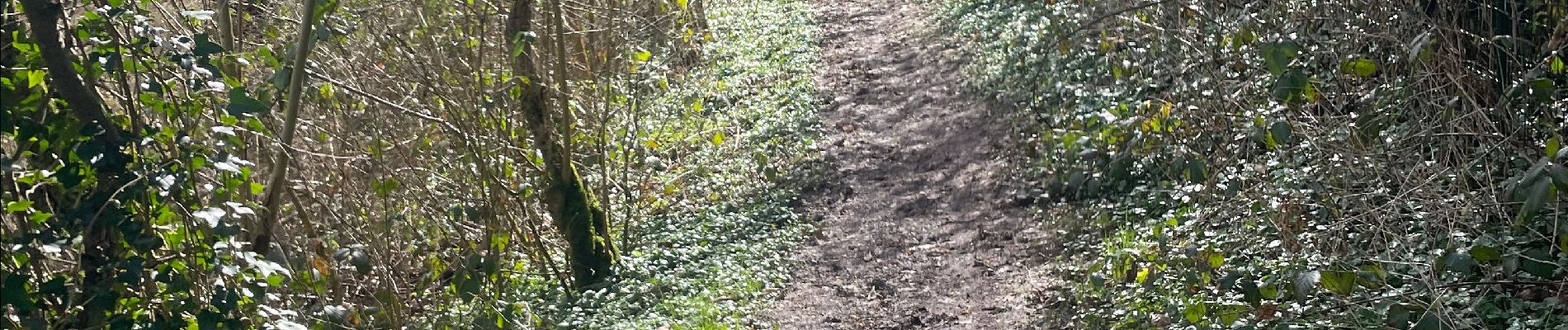
Stavelot- Chemin des source 14 Km

Efr
User

Length
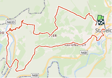
14.4 km

Max alt
503 m

Uphill gradient
490 m
Km-Effort
21 km

Min alt
232 m

Downhill gradient
524 m
Boucle
No
Creation date :
2024-03-14 09:13:14.0
Updated on :
2024-03-14 21:40:14.256
4h46
Difficulty : Very difficult

FREE GPS app for hiking
 SityTrail
IGN / Geographical institutes
SityTrail Plus
The world is yours!
About
Trail Walking of 14.4 km to be discovered at Wallonia, Liège, Stavelot. This trail is proposed by Efr.
Photos


Positioning
Country:
Belgium
Region :
Wallonia
Department/Province :
Liège
Municipality :
Stavelot
Location:
Unknown
Start:(Dec)
Start:(UTM)
707964 ; 5586753 (31U) N.
Comments