


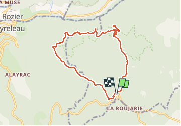
Ermitage St Michel Aveyron 19/03/24

Linerou
User

Length
8.8 km

Max alt
903 m

Uphill gradient
307 m
Km-Effort
12.8 km

Min alt
677 m

Downhill gradient
300 m
Boucle
Yes
Creation date :
2024-03-19 08:48:22.193
Updated on :
2024-03-19 13:51:44.537
4h19
Difficulty : Medium

FREE GPS app for hiking
 SityTrail
IGN / Geographical institutes
SityTrail Plus
The world is yours!
About
Trail Walking of 8.8 km to be discovered at Occitania, Aveyron, Veyreau. This trail is proposed by Linerou.
Positioning
Country:
France
Region :
Occitania
Department/Province :
Aveyron
Municipality :
Veyreau
Location:
Unknown
Start:(Dec)
Start:(UTM)
519607 ; 4890987 (31T) N.
Comments