


mardi19mars

arnoultjf
User
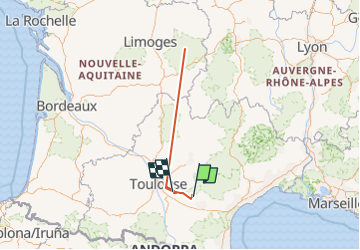

Length
593 km

Max alt
937 m

Uphill gradient
20381 m
Km-Effort
866 km

Min alt
102 m

Downhill gradient
20947 m
Boucle
No
Creation date :
2024-03-14 13:29:27.619
Updated on :
2024-03-20 07:48:32.752
8h20
Difficulty : Very difficult

FREE GPS app for hiking
 SityTrail
IGN / Geographical institutes
SityTrail Plus
The world is yours!
About
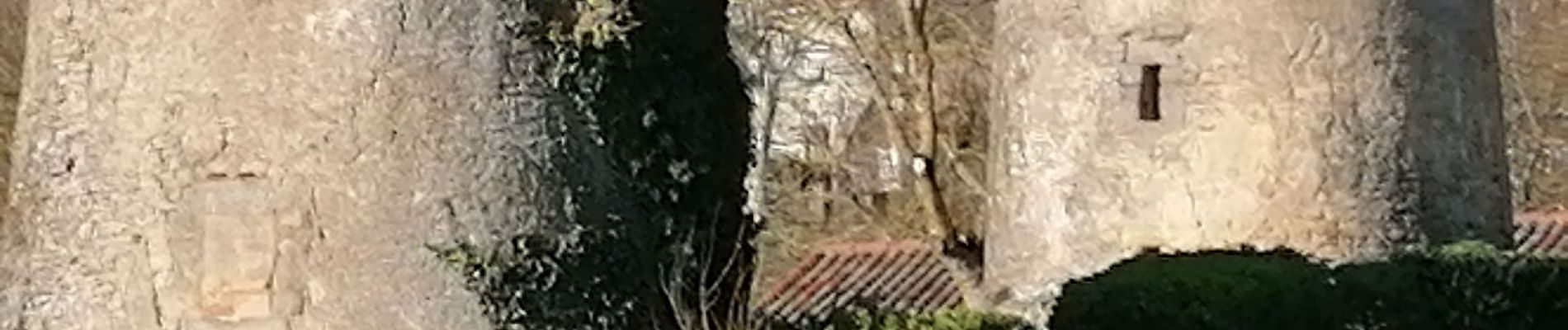
Trail Walking of 593 km to be discovered at Occitania, Tarn, Arfons. This trail is proposed by arnoultjf.
Photos


Positioning
Country:
France
Region :
Occitania
Department/Province :
Tarn
Municipality :
Arfons
Location:
Unknown
Start:(Dec)
Start:(UTM)
437119 ; 4806554 (31T) N.
Comments