


Belgentier-Barres de Cuers-Pilon St Clément

FSantoni
User
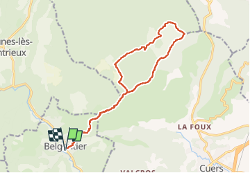

Length
18.8 km

Max alt
698 m

Uphill gradient
826 m
Km-Effort
30 km

Min alt
155 m

Downhill gradient
826 m
Boucle
Yes
Creation date :
2024-03-21 07:28:49.021
Updated on :
2024-03-21 17:56:37.255
6h47
Difficulty : Very difficult

FREE GPS app for hiking
 SityTrail
IGN / Geographical institutes
SityTrail Plus
The world is yours!
About
Trail Walking of 18.8 km to be discovered at Provence-Alpes-Côte d'Azur, Var, Belgentier. This trail is proposed by FSantoni.
Description
Toujours autant magnifique
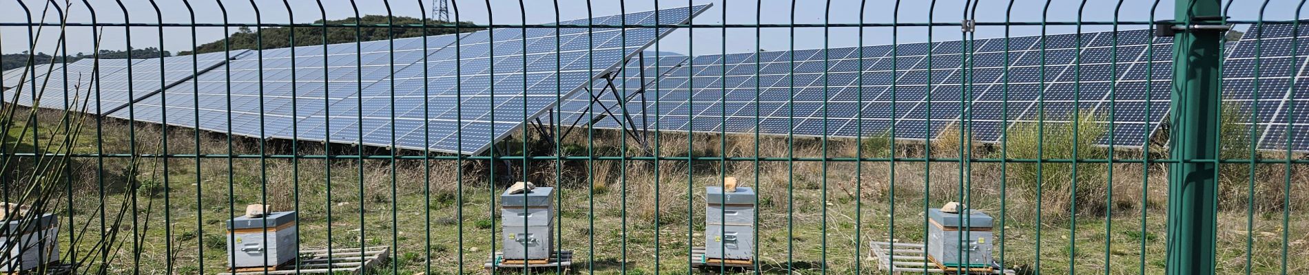
Photos


34 photos in total. Please click on a photo to see them all in the gallery.
Positioning
Country:
France
Region :
Provence-Alpes-Côte d'Azur
Department/Province :
Var
Municipality :
Belgentier
Location:
Unknown
Start:(Dec)
Start:(UTM)
256489 ; 4792256 (32T) N.
Comments