


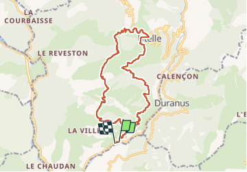

10.5 km | 17.6 km-effort


User


FREE GPS app for hiking
 SityTrail
IGN / Geographical institutes
SityTrail World
The world is yours!
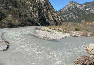
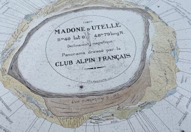
Trail Walking of 20 km to be discovered at Provence-Alpes-Côte d'Azur, Maritime Alps, Utelle. This trail is proposed by michelrousseau.
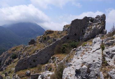
splendide rando très variée
.Il edt préférable de faire le retour par le gr5 même si c'est plus long, le sentier est très confortable. Croisé 2 loups... à la montée ! Et 3 patous à la descente avant le village d'Utelle. Un peu agressifs
!
On foot
On foot
On foot

Walking
Walking
Walking

Walking

Walking
Walking