


Pic des Mouches Pascal-83

Pascal-83
User
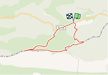

Length
8 km

Max alt
998 m

Uphill gradient
418 m
Km-Effort
13.6 km

Min alt
580 m

Downhill gradient
422 m
Boucle
Yes
Creation date :
2024-03-21 08:43:46.306
Updated on :
2024-03-23 07:47:52.586
3h25
Difficulty : Difficult

FREE GPS app for hiking
 SityTrail
IGN / Geographical institutes
SityTrail Plus
The world is yours!
About
Trail Walking of 8 km to be discovered at Provence-Alpes-Côte d'Azur, Bouches-du-Rhône, Vauvenargues. This trail is proposed by Pascal-83.
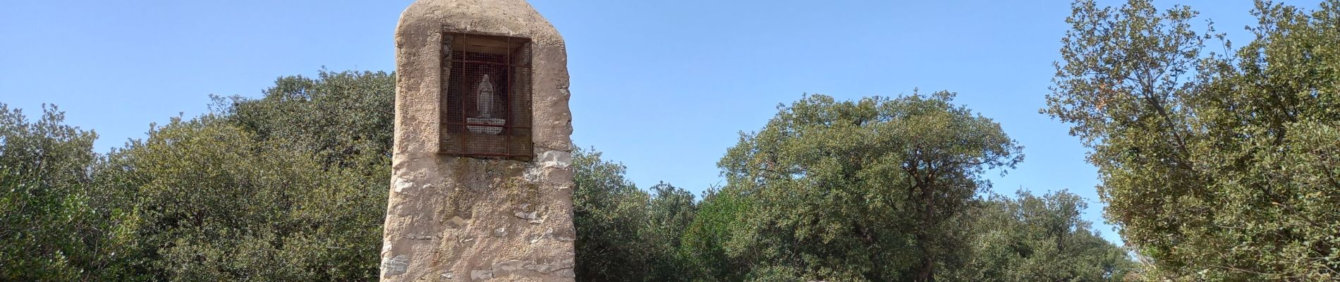
Photos


Positioning
Country:
France
Region :
Provence-Alpes-Côte d'Azur
Department/Province :
Bouches-du-Rhône
Municipality :
Vauvenargues
Location:
Unknown
Start:(Dec)
Start:(UTM)
715977 ; 4825446 (31T) N.
Comments