


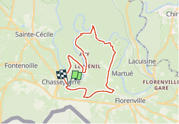
marche adeps Chassepierre

thomas1986
User

Length
14.2 km

Max alt
378 m

Uphill gradient
260 m
Km-Effort
17.6 km

Min alt
276 m

Downhill gradient
261 m
Boucle
Yes
Creation date :
2024-03-24 09:51:30.88
Updated on :
2024-03-24 12:57:37.901
2h54
Difficulty : Medium

FREE GPS app for hiking
 SityTrail
IGN / Geographical institutes
SityTrail Plus
The world is yours!
About
Trail Walking of 14.2 km to be discovered at Wallonia, Luxembourg, Florenville. This trail is proposed by thomas1986.
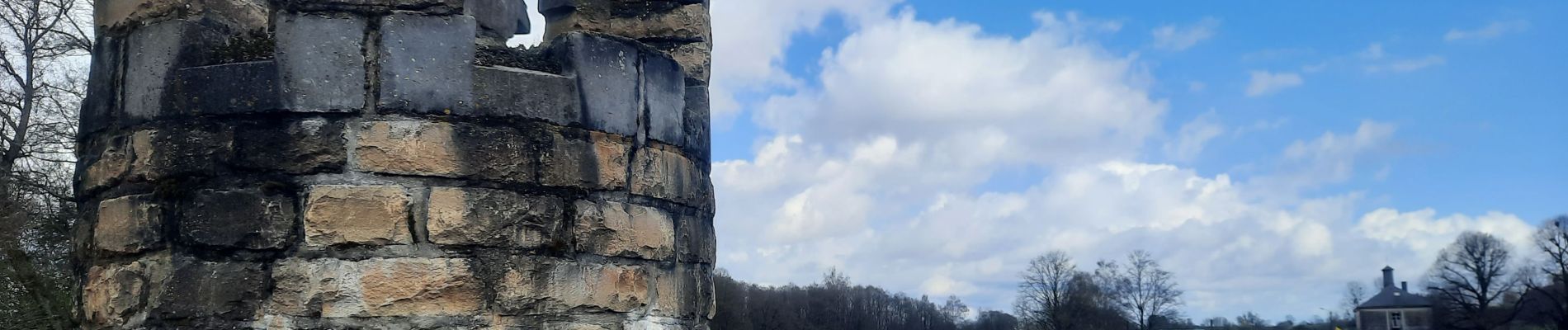
Photos


29 photos in total. Please click on a photo to see them all in the gallery.
Positioning
Country:
Belgium
Region :
Wallonia
Department/Province :
Luxembourg
Municipality :
Florenville
Location:
Unknown
Start:(Dec)
Start:(UTM)
663563 ; 5508366 (31U) N.
Comments