


autour du ruisseau de colonster via la grimpette des 3 sapins et retour via le château

stef789
User GUIDE
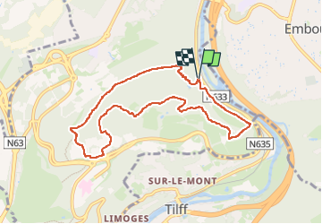

Length
8.2 km

Max alt
249 m

Uphill gradient
214 m
Km-Effort
11 km

Min alt
70 m

Downhill gradient
217 m
Boucle
Yes
Creation date :
2024-04-03 13:21:06.026
Updated on :
2024-04-03 15:30:02.342
2h08
Difficulty : Medium

FREE GPS app for hiking
 SityTrail
IGN / Geographical institutes
SityTrail Plus
The world is yours!
About
Trail Walking of 8.2 km to be discovered at Wallonia, Liège, Liège. This trail is proposed by stef789.
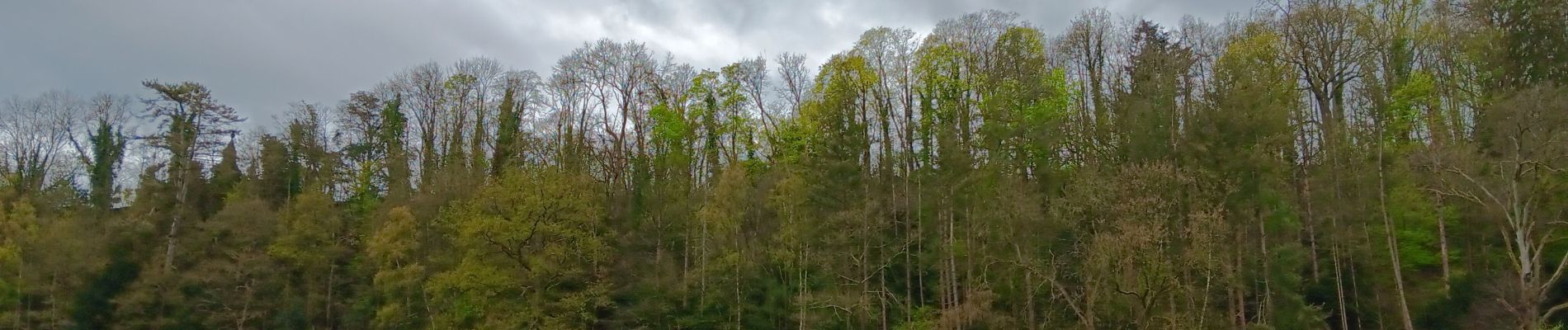
Photos


27 photos in total. Please click on a photo to see them all in the gallery.
Positioning
Country:
Belgium
Region :
Wallonia
Department/Province :
Liège
Municipality :
Liège
Location:
Unknown
Start:(Dec)
Start:(UTM)
683256 ; 5606936 (31U) N.
Comments