


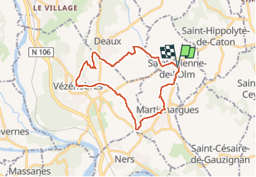
St Etienne de l'olm - Vezenobres

GOIOLIRIBES
User

Length
15.2 km

Max alt
215 m

Uphill gradient
277 m
Km-Effort
18.9 km

Min alt
100 m

Downhill gradient
278 m
Boucle
Yes
Creation date :
2024-04-04 07:10:27.535
Updated on :
2024-04-04 12:32:44.91
5h21
Difficulty : Medium

FREE GPS app for hiking
 SityTrail
IGN / Geographical institutes
SityTrail Plus
The world is yours!
About
Trail Walking of 15.2 km to be discovered at Occitania, Gard, Saint-Étienne-de-l'Olm. This trail is proposed by GOIOLIRIBES.
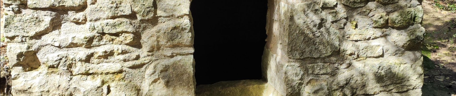
Photos


Positioning
Country:
France
Region :
Occitania
Department/Province :
Gard
Municipality :
Saint-Étienne-de-l'Olm
Location:
Unknown
Start:(Dec)
Start:(UTM)
594886 ; 4879131 (31T) N.
Comments