


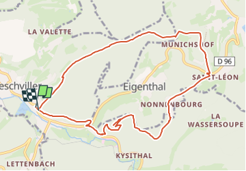
Circulaire de la Roche du Diable - Abreschviller

xtislair
User

Length
10.1 km

Max alt
471 m

Uphill gradient
349 m
Km-Effort
14.7 km

Min alt
299 m

Downhill gradient
339 m
Boucle
Yes
Creation date :
2024-04-05 06:46:48.51
Updated on :
2024-04-05 06:48:42.311
3h20
Difficulty : Difficult

FREE GPS app for hiking
 SityTrail
IGN / Geographical institutes
SityTrail Plus
The world is yours!
About
Trail Walking of 10.1 km to be discovered at Grand Est, Moselle, Abreschviller. This trail is proposed by xtislair.
Positioning
Country:
France
Region :
Grand Est
Department/Province :
Moselle
Municipality :
Abreschviller
Location:
Unknown
Start:(Dec)
Start:(UTM)
360315 ; 5388448 (32U) N.
Comments