


Ravel

raygautier
User
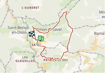

Length
18 km

Max alt
1321 m

Uphill gradient
925 m
Km-Effort
30 km

Min alt
522 m

Downhill gradient
947 m
Boucle
No
Creation date :
2024-04-05 06:41:07.0
Updated on :
2024-04-05 17:22:54.838

FREE GPS app for hiking
 SityTrail
IGN / Geographical institutes
SityTrail Plus
The world is yours!
About
Trail of 18 km to be discovered at Auvergne-Rhône-Alpes, Drôme, Rimon-et-Savel. This trail is proposed by raygautier.
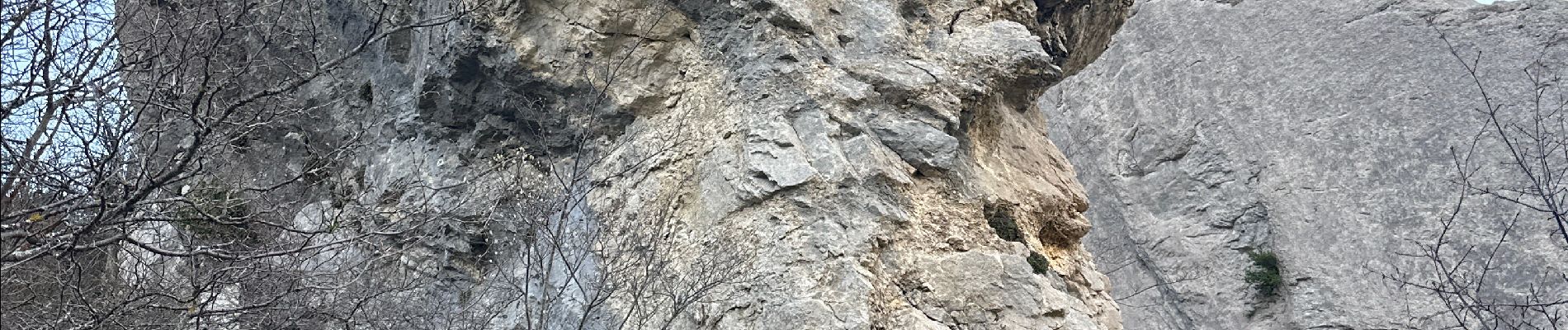
Photos

Positioning
Country:
France
Region :
Auvergne-Rhône-Alpes
Department/Province :
Drôme
Municipality :
Rimon-et-Savel
Location:
Unknown
Start:(Dec)
Start:(UTM)
681952 ; 4946635 (31T) N.
Comments