


callas le pont d'endre

Michel DUBOIS
User


Length
9.8 km

Max alt
292 m

Uphill gradient
236 m
Km-Effort
12.9 km

Min alt
128 m

Downhill gradient
229 m
Boucle
Yes
Creation date :
2024-04-04 06:35:13.782
Updated on :
2024-04-07 14:16:48.785
2h25
Difficulty : Easy

FREE GPS app for hiking
 SityTrail
IGN / Geographical institutes
SityTrail Plus
The world is yours!
About
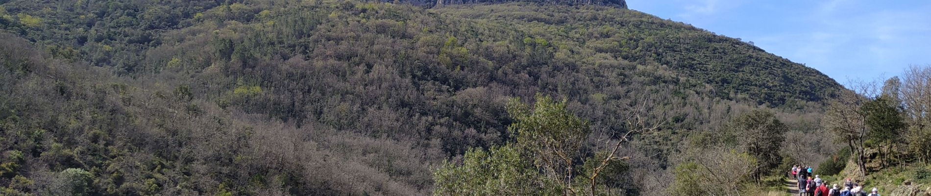
Trail Walking of 9.8 km to be discovered at Provence-Alpes-Côte d'Azur, Var, Callas. This trail is proposed by Michel DUBOIS.
Photos


Positioning
Country:
France
Region :
Provence-Alpes-Côte d'Azur
Department/Province :
Var
Municipality :
Callas
Location:
Unknown
Start:(Dec)
Start:(UTM)
306141 ; 4827522 (32T) N.
Comments