


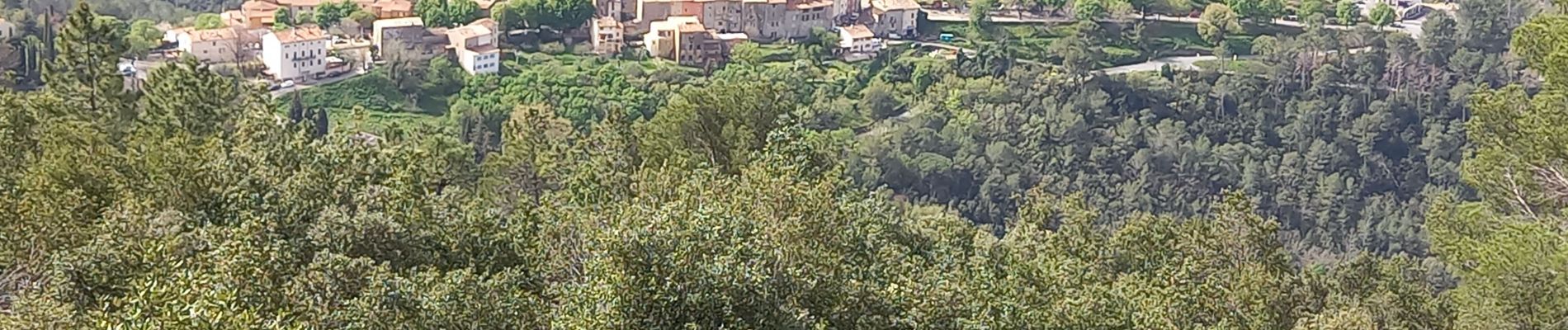
ps claviers fontaine

psester
User
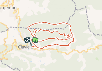

Length
12.6 km

Max alt
673 m

Uphill gradient
392 m
Km-Effort
17.8 km

Min alt
407 m

Downhill gradient
392 m
Boucle
Yes
Creation date :
2024-04-08 06:55:47.245
Updated on :
2024-04-08 16:40:47.465
4h03
Difficulty : Difficult

FREE GPS app for hiking
 SityTrail
IGN / Geographical institutes
SityTrail Plus
The world is yours!
About
Trail Walking of 12.6 km to be discovered at Provence-Alpes-Côte d'Azur, Var, Claviers. This trail is proposed by psester.
Photos

Positioning
Country:
France
Region :
Provence-Alpes-Côte d'Azur
Department/Province :
Var
Municipality :
Claviers
Location:
Unknown
Start:(Dec)
Start:(UTM)
303568 ; 4830558 (32T) N.
Comments