


20240409-StPierre des Fleurs Cool

doudet
User

Length
7.5 km

Max alt
163 m

Uphill gradient
72 m
Km-Effort
8.5 km

Min alt
121 m

Downhill gradient
72 m
Boucle
Yes
Creation date :
2024-04-09 07:26:42.65
Updated on :
2024-04-09 17:40:52.841
2h10
Difficulty : Easy

FREE GPS app for hiking
 SityTrail
IGN / Geographical institutes
SityTrail Plus
The world is yours!
About
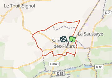
Trail Walking of 7.5 km to be discovered at Normandy, Eure, Saint-Pierre-des-Fleurs. This trail is proposed by doudet.
Description
Boucle A-R au départ de l'Eglise
Photos


25 photos in total. Please click on a photo to see them all in the gallery.
Positioning
Country:
France
Region :
Normandy
Department/Province :
Eure
Municipality :
Saint-Pierre-des-Fleurs
Location:
Unknown
Start:(Dec)
Start:(UTM)
352002 ; 5457346 (31U) N.
Comments