


caragoudrs

arnoultjf
User
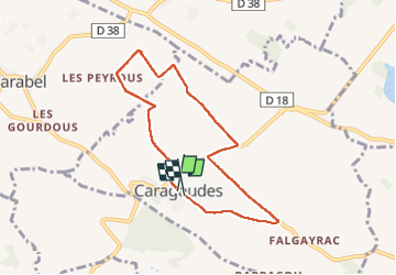

Length
7.4 km

Max alt
232 m

Uphill gradient
77 m
Km-Effort
8.4 km

Min alt
175 m

Downhill gradient
78 m
Boucle
Yes
Creation date :
2024-04-09 11:55:51.159
Updated on :
2024-04-09 13:27:50.284
1h31
Difficulty : Medium

FREE GPS app for hiking
 SityTrail
IGN / Geographical institutes
SityTrail Plus
The world is yours!
About
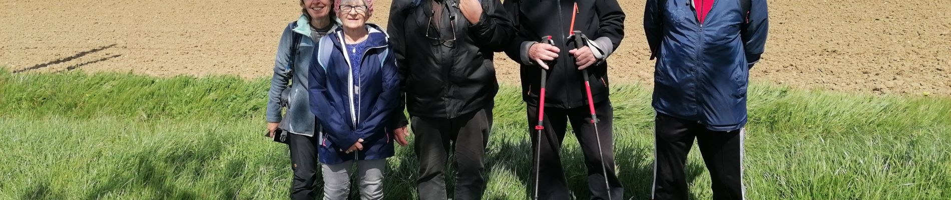
Trail Walking of 7.4 km to be discovered at Occitania, Haute-Garonne, Caragoudes. This trail is proposed by arnoultjf.
Photos

Positioning
Country:
France
Region :
Occitania
Department/Province :
Haute-Garonne
Municipality :
Caragoudes
Location:
Unknown
Start:(Dec)
Start:(UTM)
395073 ; 4817128 (31T) N.
Comments