Trail On foot Culles-les-Roches - Culles-les-Roches La Sachette Saules Culles-les-Roches - Photo

Culles-les-Roches La Sachette Saules Culles-les-Roches

© OpenStreetMap contributors
Length
Length
13.9 km
Max alt
Max alt
444 m
Uphill gradient
Uphill gradient
410 m
Km-Effort
Km-Effort  
19.4 km
Min alt
Min alt
237 m
Downhill gradient
Downhill gradient
410 m
Boucle
Boucle
Yes
Creation date :
2024-04-11 19:12:55.881
Updated on :
2024-04-11 19:36:01.729

(0 Reviews)

On foot
On foot
4h24
Difficulty : Easy

Scan this QR Code to open this trail in the SityTrail application

FREE GPS app for hiking

Logo SityTrail SityTrail

IGN / Geographical institutes

Download SityTrail from the App Store Download SityTrail from Google Play

Logo SityTrail SityTrail World

The world is yours!

Download SityTrail from the App Store Download SityTrail from Google Play Download SityTrail on Huawei AppGallery

About

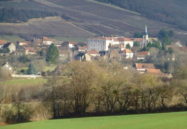
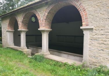
Trail On foot of 13.9 km to be discovered at Bourgogne-Franche-Comté, Saône-et-Loire, Culles-les-Roches. This trail is proposed by pensionisten71.

Description

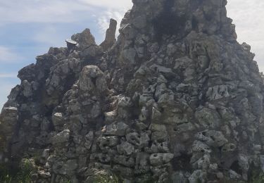
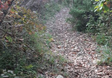
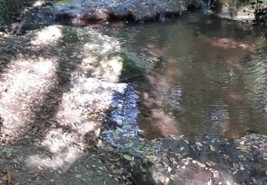
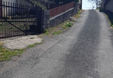
Départ de l'ancienne Gare de Culles-les-Roches  prendre le Chemin du Tunnel passer sous le pont et tourner à droite pour passer sur le pont.la suite,c'est à vous de découvrir en suivant la carte. La petite boucle qui suit le ruisseau la Mouille commence par des marches et descend le long de la Mouille au dernier petit pont on ne traverse pas.Cela monte bien.selon la trace choisie,on arrive soi dans la montée du pont de  départ soi de l'autre côté.
l'arrivée est proche...

Elevation profile

Positioning

Country:
France
Region :
Bourgogne-Franche-Comté
Department/Province :
Saône-et-Loire
Municipality :
Culles-les-Roches
Location:
Unknown
Start:(UTM)
626788 ; 5167257 (31T) N.

Trails nearby

Trail Walking Saint-Gengoux-le-National - Autour de Saint Gengoux le National  fevrier 2023 (3) - Photo
Walking
Malice0093

Walking

Medium
(1)
Saint-Gengoux-le-National, Bourgogne-Franche-Comté, Saône-et-Loire, France
7.5 km | 9.3 km-effort
2h 6min
Yes
Trail Walking Fley - rimont - Photo
Walking
patourad

Walking

Very easy
(1)
Fley, Bourgogne-Franche-Comté, Saône-et-Loire, France
13.8 km | 18.5 km-effort
3h 12min
Yes
Trail Walking Saint-Gengoux-le-National - Jouvencelle 2024 Saint-Gengoux  - Photo
Walking
pensionisten71

Walking

Medium
Saint-Gengoux-le-National, Bourgogne-Franche-Comté, Saône-et-Loire, France
18.6 km | 24 km-effort
4h 52min
Yes
Trail Walking Fley - Rimont - Photo
Walking
Bonnefois Bernard

Walking

Medium
(1)
Fley, Bourgogne-Franche-Comté, Saône-et-Loire, France
10.6 km | 13.6 km-effort
3h 4min
Yes
Trail Walking Saint-Martin-du-Tartre - Saint-Martin du Tartre  - Photo
Walking
pensionisten71

Walking

Medium
Saint-Martin-du-Tartre, Bourgogne-Franche-Comté, Saône-et-Loire, France
20 km | 27 km-effort
4h 15min
Yes
Trail On foot Bissy-sur-Fley - Chemin de Pissevache - Photo
On foot
PRO

On foot

Easy
Bissy-sur-Fley, Bourgogne-Franche-Comté, Saône-et-Loire, France
3.5 km | 4.8 km-effort
1h 5min
Yes
Trail Walking Saint-Martin-du-Tartre - Saint-Martin du. Tartre - Photo
Walking
pensionisten71

Walking

Difficult
Saint-Martin-du-Tartre, Bourgogne-Franche-Comté, Saône-et-Loire, France
21 km | 28 km-effort
5h 10min
Yes
Trail Walking Fley - Sentier des Orchidées de Fley - Photo
Walking
GUIDE
Kargil

Walking

Easy
Fley, Bourgogne-Franche-Comté, Saône-et-Loire, France
16.8 km | 22 km-effort
4h 20min
Yes
Trail Walking Culles-les-Roches - Culles-les-Roches  - Photo
Walking
pensionisten71

Walking

Medium
Culles-les-Roches, Bourgogne-Franche-Comté, Saône-et-Loire, France
21 km | 27 km-effort
7h 52min
Yes


Close
My subscriptions