Trail Walking Soleymieux - Au dessus de St Jean Soleymieux  - Photo

Au dessus de St Jean Soleymieux

 dudu42
dudu42

User

© OpenStreetMap contributors
Length
Length
13.7 km
Max alt
Max alt
1132 m
Uphill gradient
Uphill gradient
475 m
Km-Effort
Km-Effort  
20 km
Min alt
Min alt
746 m
Downhill gradient
Downhill gradient
474 m
Boucle
Boucle
Yes
Creation date :
2024-04-14 07:05:41.01
Updated on :
2024-04-14 10:39:44.018

(0 Reviews)

Walking
Walking
3h24
Difficulty : Medium

Scan this QR Code to open this trail in the SityTrail application

FREE GPS app for hiking

Logo SityTrail SityTrail

IGN / Geographical institutes

Download SityTrail from the App Store Download SityTrail from Google Play

Logo SityTrail SityTrail World

The world is yours!

Download SityTrail from the App Store Download SityTrail from Google Play Download SityTrail on Huawei AppGallery

About

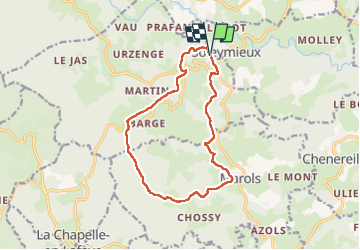
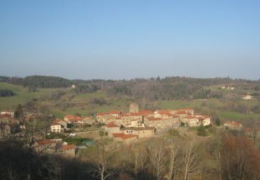
Trail Walking of 13.7 km to be discovered at Auvergne-Rhône-Alpes, Loire, Soleymieux. This trail is proposed by dudu42.

Description

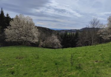
Très beaux panoramas sur le parcours.
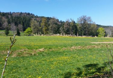
Sous bois superbes avec le chant des oiseaux.
Une bonne partie du dénivelé positif est au début du parcours.
Un peu de bitume vers la fin mais presque pas de circulation.

Elevation profile

Photos

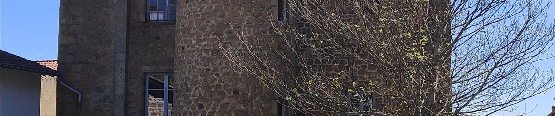
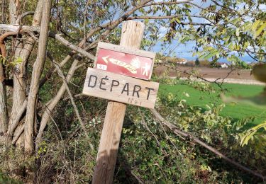
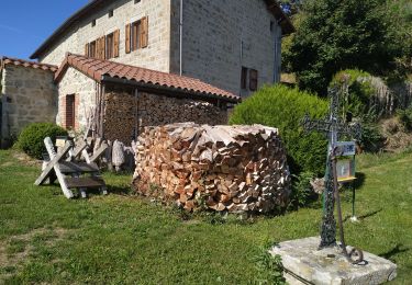
34 photos in total. Please click on a photo to see them all in the gallery.

Positioning

Country:
France
Region :
Auvergne-Rhône-Alpes
Department/Province :
Loire
Municipality :
Soleymieux
Location:
Unknown
Start:(UTM)
580979 ; 5039907 (31T) N.

Trails nearby

Trail Walking Lavieu - Lavieu D 101 parking  - Photo
Walking
Migrounet42

Walking

Very difficult
Lavieu, Auvergne-Rhône-Alpes, Loire, France
14 km | 19.7 km-effort
5h 19min
Yes
Trail Walking Chazelles-sur-Lavieu - Randonnée au dessus de Chazelles sur Lavieu  - Photo
Walking
dudu42

Walking

Medium
Chazelles-sur-Lavieu, Auvergne-Rhône-Alpes, Loire, France
15.4 km | 22 km-effort
3h 38min
Yes
Trail Mountain bike Gumières - Gumières - Montagne de Courreau - Gumières - Photo
Mountain bike
tracegps

Mountain bike

Difficult
Gumières, Auvergne-Rhône-Alpes, Loire, France
49 km | 68 km-effort
5h 30min
No
Trail Walking Gumières - les montagnes du soir  - Photo
Walking
JamesVautier

Walking

Easy
Gumières, Auvergne-Rhône-Alpes, Loire, France
9.5 km | 14.2 km-effort
3h 4min
Yes
Trail Walking Chazelles-sur-Lavieu - Chazelle sur Lavieu - Photo
Walking
dudu42

Walking

Medium
Chazelles-sur-Lavieu, Auvergne-Rhône-Alpes, Loire, France
14.8 km | 21 km-effort
2h 56min
Yes
Trail Walking Marols - J6-Chossy - Jouenzec - Photo
Walking
MAD-CVW

Walking

Medium
Marols, Auvergne-Rhône-Alpes, Loire, France
22 km | 29 km-effort
5h 4min
No
Trail Walking Marols - J6 - Photo
Walking
MAD-CVW

Walking

Very difficult
Marols, Auvergne-Rhône-Alpes, Loire, France
22 km | 29 km-effort
5h 13min
No
Trail Walking Saint-Jean-Soleymieux - la courte  - Photo
Walking
JamesVautier

Walking

Very easy
Saint-Jean-Soleymieux, Auvergne-Rhône-Alpes, Loire, France
4.4 km | 6.2 km-effort
57min
Yes
Trail Walking Saint-Jean-Soleymieux - sentier des babets - Photo
Walking
JamesVautier

Walking

Easy
Saint-Jean-Soleymieux, Auvergne-Rhône-Alpes, Loire, France
7.5 km | 10.1 km-effort
1h 49min
Yes


Close
My subscriptions