


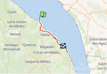

9.2 km | 9.4 km-effort


User


FREE GPS app for hiking
 SityTrail
IGN / Geographical institutes
SityTrail World
The world is yours!
Trail Nordic walking of 21 km to be discovered at New Aquitaine, Gironde, Jau-Dignac-et-Loirac. This trail is proposed by collignpn.


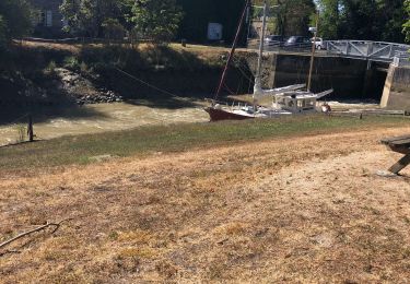
Walking

Walking