


autour de Kanne et St Pietersberg

stef789
User GUIDE
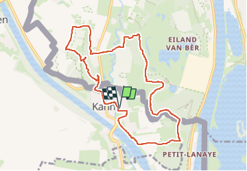

Length
9.4 km

Max alt
118 m

Uphill gradient
171 m
Km-Effort
11.6 km

Min alt
51 m

Downhill gradient
170 m
Boucle
Yes
Creation date :
2024-04-18 12:55:57.084
Updated on :
2024-04-18 15:19:40.596
2h23
Difficulty : Easy

FREE GPS app for hiking
 SityTrail
IGN / Geographical institutes
SityTrail Plus
The world is yours!
About
Trail Walking of 9.4 km to be discovered at Flanders, Limburg, Riemst. This trail is proposed by stef789.
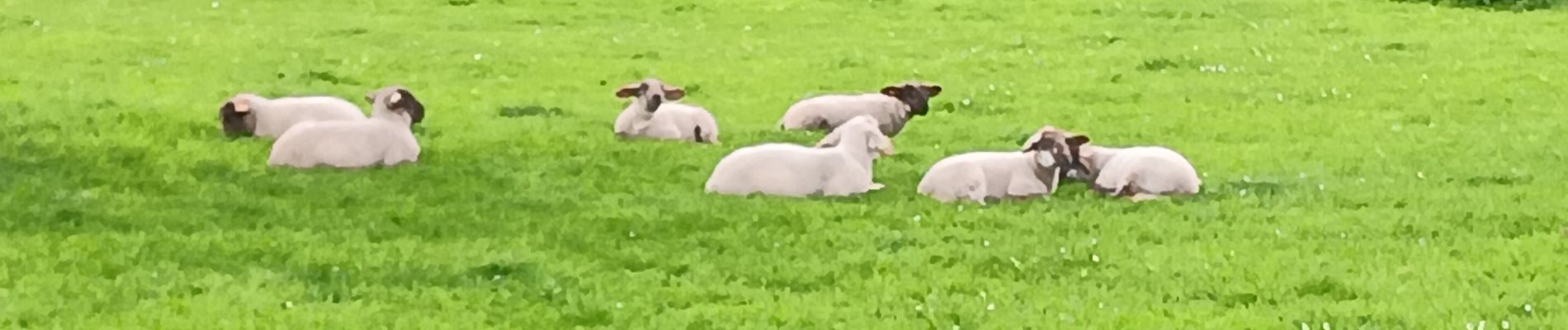
Photos


26 photos in total. Please click on a photo to see them all in the gallery.
Positioning
Country:
Belgium
Region :
Flanders
Department/Province :
Limburg
Municipality :
Riemst
Location:
Kanne
Start:(Dec)
Start:(UTM)
688261 ; 5632535 (31U) N.
Comments