


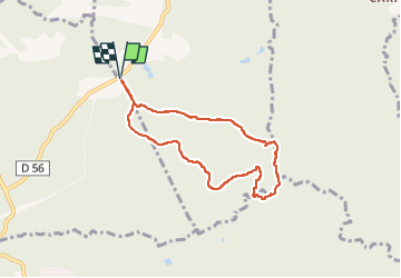

9.3 km | 12.7 km-effort


User


FREE GPS app for hiking
 SityTrail
IGN / Geographical institutes
SityTrail World
The world is yours!
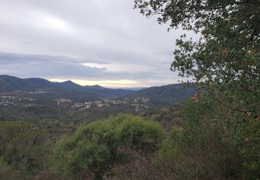
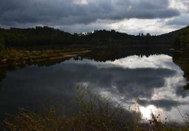
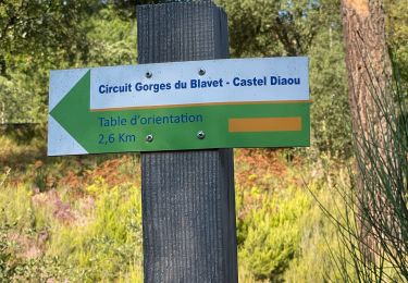
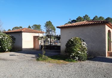
Trail Walking of 7 km to be discovered at Provence-Alpes-Côte d'Azur, Var, Tourrettes. This trail is proposed by boulinevelyne.
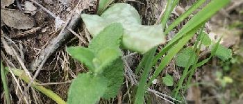
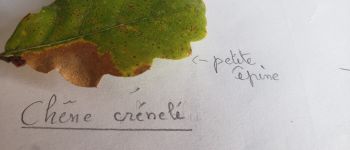
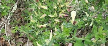
-Le chêne crénelé (Quercus crénata) à un tronc avec un peu de liège.
Feuille légèrement lobée avec présence d'une petite épine au sommet du lobe. Feuille
C'est un hybride entre le chêne chevelu et le chêne liège.
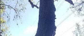
-Le chêne chevelu(Quercus cerris) a des feuilles plus lobées et surtout un tronc présentant des sillons parallèles et trace jaune orange au fond du sillon. Cupule du gland chevelu.
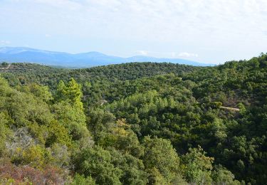
Un peu de Géologie:
Nous sommes sur des gneiss, c.a.d une roche métamorphique brassée en profondeur, compressée ce qui donne à la roche cet aspect de stratification foliacée très fine.
du Sud au Nord on a :
une roche volcanique l'esterel puis le carbonifère avec la vallée du Reyran ,le gneiss où nous randonnons et enfin la provence calcaire au Nord.


On foot

Walking
Walking
Walking
Walking
Walking
Walking
Walking
Walking