Trail Walking Arles-sur-Tech - Col de Paracols depuis Arles sur Tech - Photo

Col de Paracols depuis Arles sur Tech

© OpenStreetMap contributors
Length
Length
12.8 km
Max alt
Max alt
901 m
Uphill gradient
Uphill gradient
778 m
Km-Effort
Km-Effort  
23 km
Min alt
Min alt
270 m
Downhill gradient
Downhill gradient
778 m
Boucle
Boucle
Yes
Creation date :
2024-04-21 07:14:59.0
Updated on :
2024-04-22 06:29:28.317

(0 Reviews)

Walking
Walking
5h00
Difficulty : Medium

Scan this QR Code to open this trail in the SityTrail application

FREE GPS app for hiking

Logo SityTrail SityTrail

IGN / Geographical institutes

Download SityTrail from the App Store Download SityTrail from Google Play

Logo SityTrail SityTrail Plus

The world is yours!

Download SityTrail from the App Store Download SityTrail from Google Play Download SityTrail on Huawei AppGallery

About

Trail Walking of 12.8 km to be discovered at Occitania, Pyrénées-Orientales, Arles-sur-Tech. This trail is proposed by Jean-Maurice Bitoun.

Description

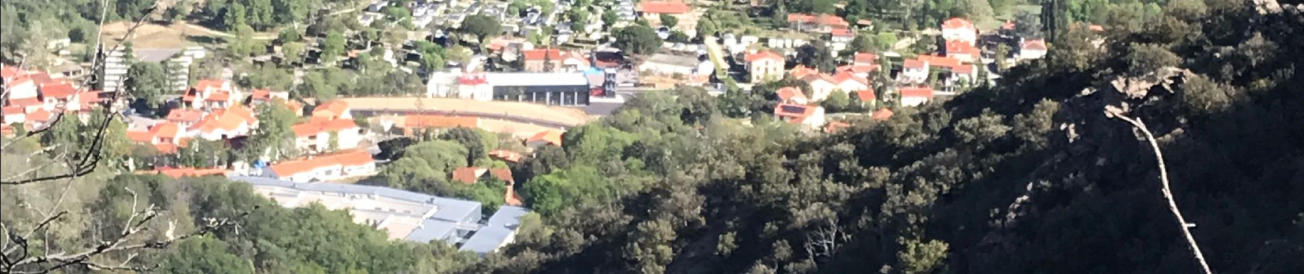
Au départ d'Arles sur Tech (parking centre sportif), une montée en sous bois vers la chapelle Santa Engracia puis on continue vers la batterie de Santa Engracia pour admirer la vue sur la plaine jusqu'à la mer. On continue à monter jusqu'au Col de Paracols puis redescente un peu technique par le gr10 vers Arles sur Tech.

Elevation profile

Photos

Positioning

Country:
France
Region :
Occitania
Department/Province :
Pyrénées-Orientales
Municipality :
Arles-sur-Tech
Location:
Unknown
Start:(UTM)
470611 ; 4701002 (31T) N.


Close
My subscriptions