


St Cyr du Ronceray/Pretreville

Eve - Line
User
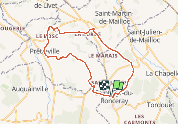

Length
15.2 km

Max alt
171 m

Uphill gradient
210 m
Km-Effort
18 km

Min alt
79 m

Downhill gradient
210 m
Boucle
Yes
Creation date :
2024-04-22 06:07:54.472
Updated on :
2024-04-22 09:25:53.453
3h16
Difficulty : Medium

FREE GPS app for hiking
 SityTrail
IGN / Geographical institutes
SityTrail Plus
The world is yours!
About
Trail Walking of 15.2 km to be discovered at Normandy, Calvados, Valorbiquet. This trail is proposed by Eve - Line.
Description
Départ place des Canadiens ,Valorbiquet .
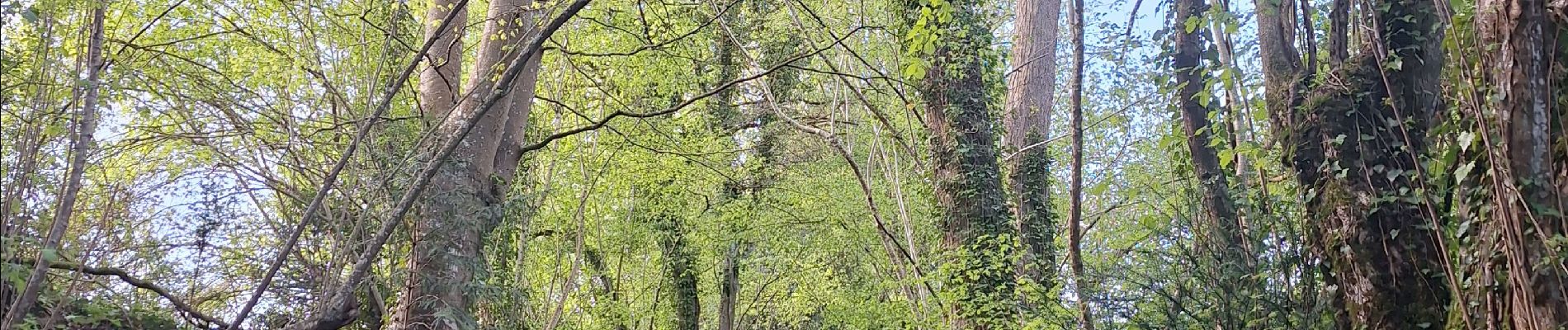
Photos


Positioning
Country:
France
Region :
Normandy
Department/Province :
Calvados
Municipality :
Valorbiquet
Location:
Saint-Cyr-du-Ronceray
Start:(Dec)
Start:(UTM)
302494 ; 5437000 (31U) N.
Comments