


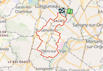
Le pont des templiers

c.chehere
User

Length
15.4 km

Max alt
94 m

Uphill gradient
140 m
Km-Effort
17.2 km

Min alt
38 m

Downhill gradient
141 m
Boucle
Yes
Creation date :
2024-04-22 06:29:09.827
Updated on :
2024-04-22 13:41:55.633
3h56
Difficulty : Medium

FREE GPS app for hiking
 SityTrail
IGN / Geographical institutes
SityTrail Plus
The world is yours!
About
Trail Walking of 15.4 km to be discovered at Ile-de-France, Essonne, Longjumeau. This trail is proposed by c.chehere.
Description
Pas mal de bitume dans le secteur de Villiers sur orge.
Parc dans Gravigny assez sympa.
Départ et arrivée depuis la gare du T12
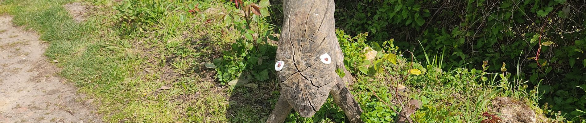
Photos


Positioning
Country:
France
Region :
Ile-de-France
Department/Province :
Essonne
Municipality :
Longjumeau
Location:
Unknown
Start:(Dec)
Start:(UTM)
449756 ; 5392690 (31U) N.
Comments