


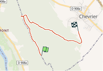

19.4 km | 27 km-effort


User


FREE GPS app for hiking
 SityTrail
IGN / Geographical institutes
SityTrail World
The world is yours!
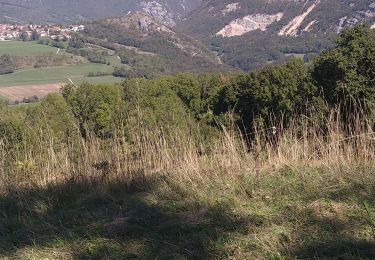
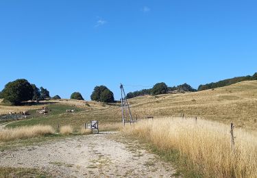
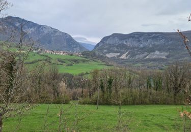
Trail Walking of 3.2 km to be discovered at Auvergne-Rhône-Alpes, Upper Savoy, Chevrier. This trail is proposed by perenhout .
Chevrier, Chapelle de l'Oratoire et retour. L'aller n'a pas fonctionné (il faut décocher l'économie d'énergie de la batterie).


Walking
Walking
Walking

Walking
Walking
Walking
Walking

Walking

Walking