


Marche pour le Soufle 10 km

jeanmarcMasson
User GUIDE


Length
9.8 km

Max alt
95 m

Uphill gradient
56 m
Km-Effort
10.6 km

Min alt
80 m

Downhill gradient
57 m
Boucle
Yes
Creation date :
2024-04-28 08:09:12.962
Updated on :
2024-04-28 09:57:53.438
1h46
Difficulty : Medium

FREE GPS app for hiking
 SityTrail
IGN / Geographical institutes
SityTrail Plus
The world is yours!
About
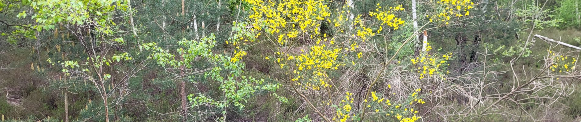
Trail Walking of 9.8 km to be discovered at Ile-de-France, Essonne, Montgeron. This trail is proposed by jeanmarcMasson.
Photos

Positioning
Country:
France
Region :
Ile-de-France
Department/Province :
Essonne
Municipality :
Montgeron
Location:
Unknown
Start:(Dec)
Start:(UTM)
460437 ; 5393816 (31U) N.
Comments