


anthisne . vien . les floxhes . la rock . les stepennes . anthisnes

stef789
User GUIDE
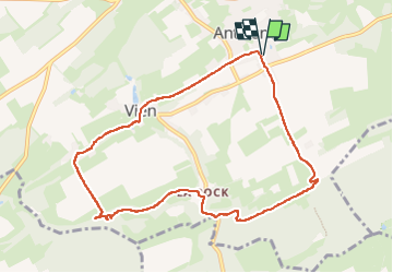

Length
8.8 km

Max alt
261 m

Uphill gradient
142 m
Km-Effort
10.7 km

Min alt
181 m

Downhill gradient
144 m
Boucle
Yes
Creation date :
2024-04-29 13:01:19.824
Updated on :
2024-04-29 15:34:28.277
2h32
Difficulty : Easy

FREE GPS app for hiking
 SityTrail
IGN / Geographical institutes
SityTrail Plus
The world is yours!
About
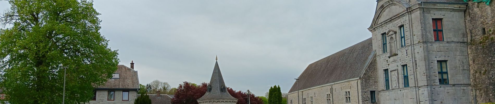
Trail Walking of 8.8 km to be discovered at Wallonia, Liège, Anthisnes. This trail is proposed by stef789.
Photos


25 photos in total. Please click on a photo to see them all in the gallery.
Positioning
Country:
Belgium
Region :
Wallonia
Department/Province :
Liège
Municipality :
Anthisnes
Location:
Unknown
Start:(Dec)
Start:(UTM)
679115 ; 5594975 (31U) N.
Comments