


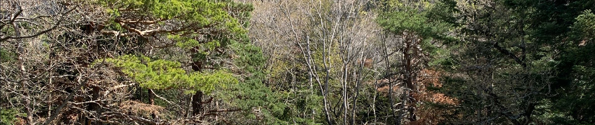
Abbaye de Valcroissant
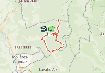
© OpenStreetMap contributors


3h10
Difficulty : Medium


Length
12.5 km
Max alt
1132 m
Uphill gradient
698 m
Km-Effort
22 km
Min alt
599 m
Downhill gradient
694 m
Boucle
Yes
Creation date :
2024-04-21 07:39:53.0
Updated on :
2024-05-01 01:17:48.995
3h10
Difficulty : Medium
FREE GPS app for hiking
 SityTrail
IGN / Geographical institutes
SityTrail Plus
The world is yours!
About
Trail Walking of 12.5 km to be discovered at Auvergne-Rhône-Alpes, Drôme, Die. This trail is proposed by 000151.528cee2ba5ea499bb7720e62b4a3eb52.0056.
Description
.
Photos


Positioning
Country:
France
Region :
Auvergne-Rhône-Alpes
Department/Province :
Drôme
Municipality :
Die
Location:
Unknown
Start:(Dec)
Start:(UTM)
692574 ; 4957539 (31T) N.
Comments