


longuyon villette 2.5.2024

jcb48
User
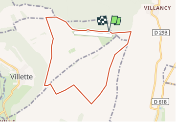

Length
7.8 km

Max alt
361 m

Uphill gradient
78 m
Km-Effort
8.9 km

Min alt
305 m

Downhill gradient
77 m
Boucle
Yes
Creation date :
2024-05-01 18:56:49.03
Updated on :
2024-05-01 18:57:58.099
2h01
Difficulty : Easy

FREE GPS app for hiking
 SityTrail
IGN / Geographical institutes
SityTrail Plus
The world is yours!
About
Trail On foot of 7.8 km to be discovered at Grand Est, Meurthe-et-Moselle, Villette. This trail is proposed by jcb48.
Description
marche
Positioning
Country:
France
Region :
Grand Est
Department/Province :
Meurthe-et-Moselle
Municipality :
Villette
Location:
Unknown
Start:(Dec)
Start:(UTM)
686686 ; 5484482 (31U) N.
Comments