


Sob palaiseau

Glurps
User

Length
18 km

Max alt
182 m

Uphill gradient
256 m
Km-Effort
22 km

Min alt
60 m

Downhill gradient
343 m
Boucle
No
Creation date :
2024-05-02 07:12:47.0
Updated on :
2024-05-02 11:54:17.806

FREE GPS app for hiking
 SityTrail
IGN / Geographical institutes
SityTrail Plus
The world is yours!
About
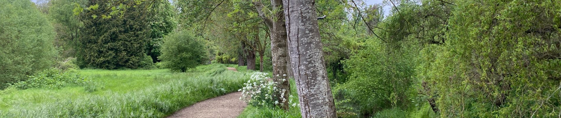
Trail of 18 km to be discovered at Ile-de-France, Hauts-de-Seine, Clamart. This trail is proposed by Glurps.
Photos

Positioning
Country:
France
Region :
Ile-de-France
Department/Province :
Hauts-de-Seine
Municipality :
Clamart
Location:
Unknown
Start:(Dec)
Start:(UTM)
443928 ; 5403817 (31U) N.
Comments