


Sob arpajon

Glurps
User
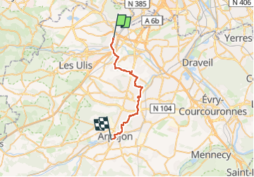

Length
26 km

Max alt
167 m

Uphill gradient
297 m
Km-Effort
30 km

Min alt
36 m

Downhill gradient
324 m
Boucle
No
Creation date :
2024-05-03 07:10:24.0
Updated on :
2024-05-03 14:18:57.018

FREE GPS app for hiking
 SityTrail
IGN / Geographical institutes
SityTrail Plus
The world is yours!
About
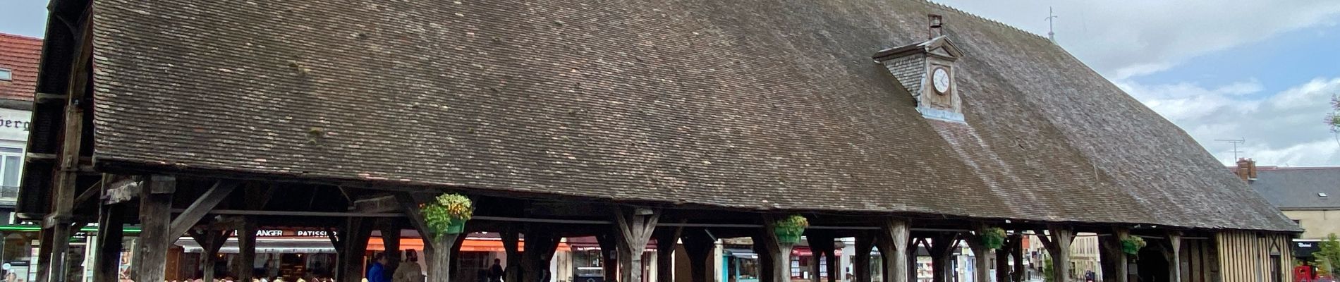
Trail of 26 km to be discovered at Ile-de-France, Essonne, Palaiseau. This trail is proposed by Glurps.
Photos


Positioning
Country:
France
Region :
Ile-de-France
Department/Province :
Essonne
Municipality :
Palaiseau
Location:
Unknown
Start:(Dec)
Start:(UTM)
444547 ; 5396322 (31U) N.
Comments