


Pic de Luc retour ravin de la Rochette

alinetpierre
User
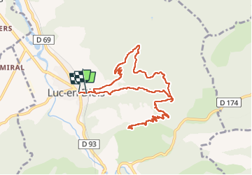

Length
11.6 km

Max alt
1066 m

Uphill gradient
555 m
Km-Effort
18.9 km

Min alt
568 m

Downhill gradient
546 m
Boucle
Yes
Creation date :
2024-05-04 07:36:11.0
Updated on :
2025-04-14 16:54:26.948

FREE GPS app for hiking
 SityTrail
IGN / Geographical institutes
SityTrail Plus
The world is yours!
About
Trail of 11.6 km to be discovered at Auvergne-Rhône-Alpes, Drôme, Luc-en-Diois. This trail is proposed by alinetpierre.
Description
Très beau belvédère sur le Claps sur Luc en Diois l’Obiou… etc … trop beau
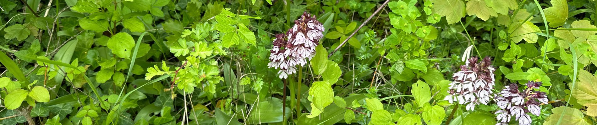
Photos


Positioning
Country:
France
Region :
Auvergne-Rhône-Alpes
Department/Province :
Drôme
Municipality :
Luc-en-Diois
Location:
Unknown
Start:(Dec)
Start:(UTM)
694580 ; 4943143 (31T) N.
Comments