


Châtillon en Diois col de Caux

alinetpierre
User


Length
12 km

Max alt
1160 m

Uphill gradient
594 m
Km-Effort
19.9 km

Min alt
581 m

Downhill gradient
598 m
Boucle
Yes
Creation date :
2024-05-05 07:21:52.0
Updated on :
2024-05-05 10:53:44.805

FREE GPS app for hiking
 SityTrail
IGN / Geographical institutes
SityTrail Plus
The world is yours!
About
Trail of 12 km to be discovered at Auvergne-Rhône-Alpes, Drôme, Châtillon-en-Diois. This trail is proposed by alinetpierre.
Description
Très belle randonnée le long de la Baïn.
Photos


Positioning
Country:
France
Region :
Auvergne-Rhône-Alpes
Department/Province :
Drôme
Municipality :
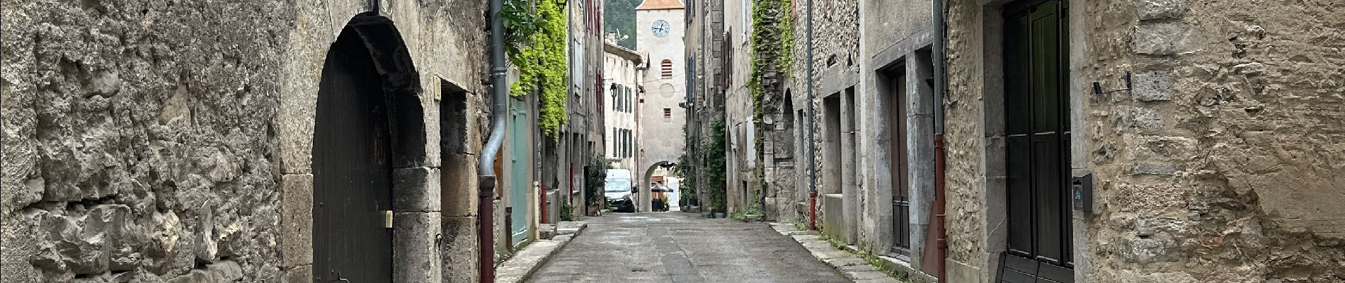
Châtillon-en-Diois
Location:
Châtillon-en-Diois
Start:(Dec)
Start:(UTM)
696694 ; 4952109 (31T) N.
Comments