


St Hymer

Eve - Line
User
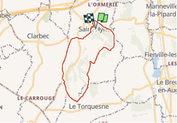

Length
12.6 km

Max alt
130 m

Uphill gradient
201 m
Km-Effort
15.3 km

Min alt
45 m

Downhill gradient
202 m
Boucle
Yes
Creation date :
2024-05-05 06:26:38.961
Updated on :
2024-05-05 11:49:14.451
2h49
Difficulty : Medium

FREE GPS app for hiking
 SityTrail
IGN / Geographical institutes
SityTrail Plus
The world is yours!
About
Trail Walking of 12.6 km to be discovered at Normandy, Calvados, Saint-Hymer. This trail is proposed by Eve - Line.
Description
Très belle boucle
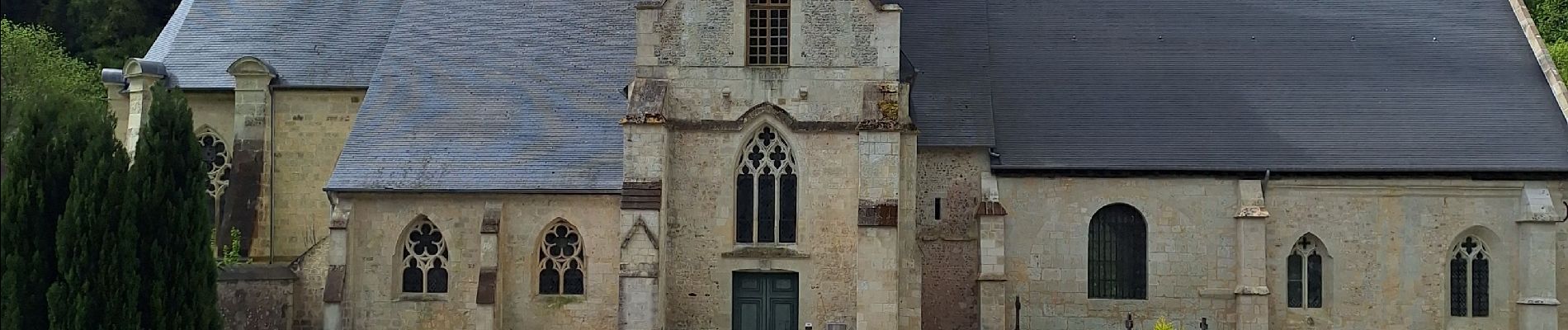
Photos


22 photos in total. Please click on a photo to see them all in the gallery.
Positioning
Country:
France
Region :
Normandy
Department/Province :
Calvados
Municipality :
Saint-Hymer
Location:
Unknown
Start:(Dec)
Start:(UTM)
294353 ; 5459514 (31U) N.
Comments