


De Nans les pins vers les sources de l'Huveaune

FSantoni
User
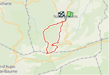

Length
11.9 km

Max alt
706 m

Uphill gradient
437 m
Km-Effort
17.7 km

Min alt
395 m

Downhill gradient
437 m
Boucle
Yes
Creation date :
2024-05-05 07:15:07.49
Updated on :
2024-05-05 17:14:50.484
5h56
Difficulty : Difficult

FREE GPS app for hiking
 SityTrail
IGN / Geographical institutes
SityTrail Plus
The world is yours!
About
Trail Walking of 11.9 km to be discovered at Provence-Alpes-Côte d'Azur, Var, Nans-les-Pins. This trail is proposed by FSantoni.
Description
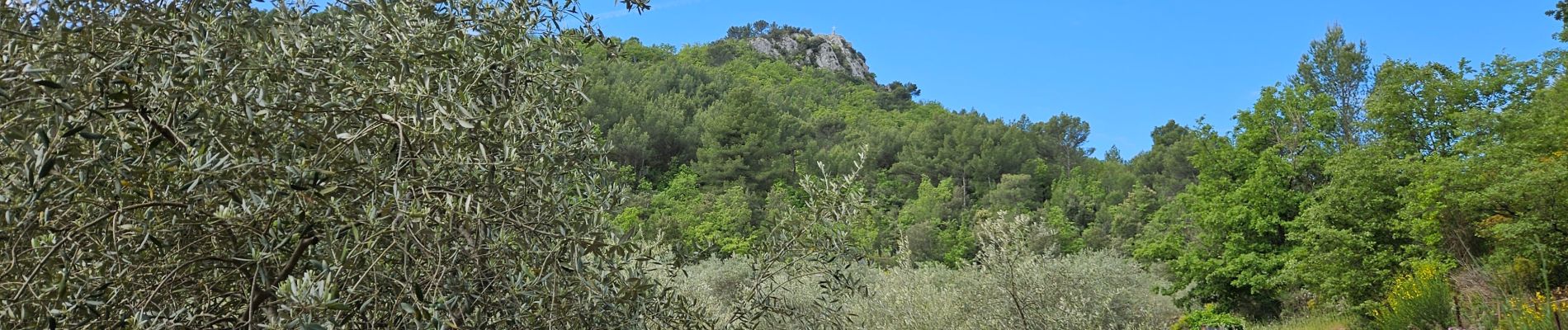
Une rando à faire ! Magnifique !
Photos


23 photos in total. Please click on a photo to see them all in the gallery.
Positioning
Country:
France
Region :
Provence-Alpes-Côte d'Azur
Department/Province :
Var
Municipality :
Nans-les-Pins
Location:
Unknown
Start:(Dec)
Start:(UTM)
725598 ; 4805564 (31T) N.
Comments