


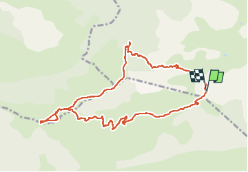


12.4 km | 23 km-effort

User


FREE GPS app for hiking
 SityTrail
IGN / Geographical institutes
SityTrail World
The world is yours!
Trail Walking of 11.1 km to be discovered at Provence-Alpes-Côte d'Azur, Hautes-Alpes, Val-Buëch-Méouge. This trail is proposed by PapouBertrand.
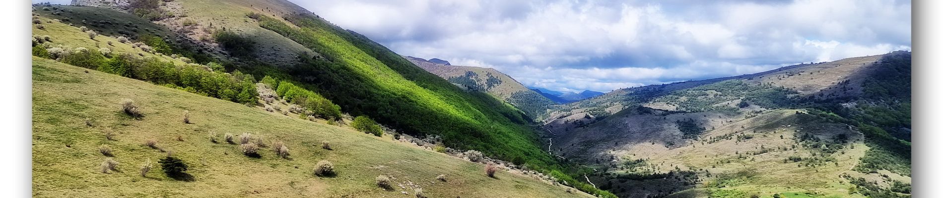
Décente du Roc très pentue au départ et un petit passage dans les marnes délicat.
De nombreuse fleurs, pivoines, tulipes noires, muguet et autres.
Deux chamois aperçus dans les marnes.


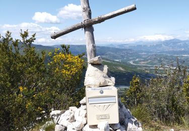
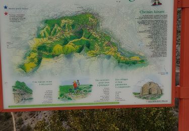
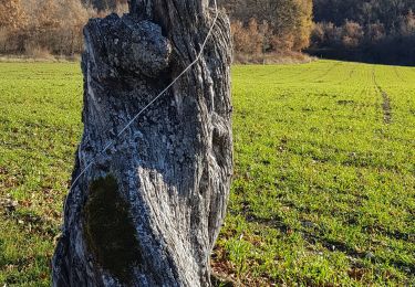
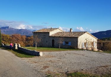
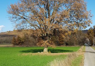
24 photos in total. Please click on a photo to see them all in the gallery.
Walking

Walking

Walking

Hybrid bike
Hybrid bike
Walking
Walking

Walking
Walking