


Givry Ethe

Ratel
User

Length
63 km

Max alt
554 m

Uphill gradient
1009 m
Km-Effort
77 km

Min alt
223 m

Downhill gradient
1184 m
Boucle
No
Creation date :
2024-05-08 20:33:05.0
Updated on :
2024-05-08 20:33:06.562
17h28
Difficulty : Very difficult

FREE GPS app for hiking
 SityTrail
IGN / Geographical institutes
SityTrail Plus
The world is yours!
About
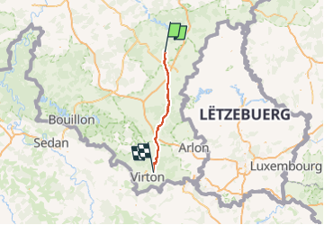
Trail Walking of 63 km to be discovered at Wallonia, Luxembourg, Bertogne. This trail is proposed by Ratel.
Positioning
Country:
Belgium
Region :
Wallonia
Department/Province :
Luxembourg
Municipality :
Bertogne
Location:
Unknown
Start:(Dec)
Start:(UTM)
689119 ; 5548624 (31U) N.
Comments