


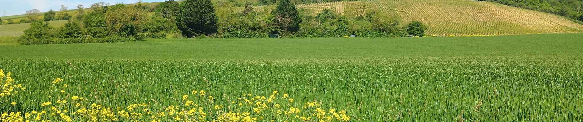
Joigny par les vignes

MichelRando7656
User
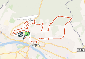

Length
11.7 km

Max alt
215 m

Uphill gradient
305 m
Km-Effort
15.8 km

Min alt
92 m

Downhill gradient
306 m
Boucle
Yes
Creation date :
2024-05-09 06:59:22.755
Updated on :
2024-05-09 10:59:43.969
3h57
Difficulty : Difficult

FREE GPS app for hiking
 SityTrail
IGN / Geographical institutes
SityTrail Plus
The world is yours!
About
Trail Walking of 11.7 km to be discovered at Bourgogne-Franche-Comté, Yonne, Joigny. This trail is proposed by MichelRando7656.
Photos


Positioning
Country:
France
Region :
Bourgogne-Franche-Comté
Department/Province :
Yonne
Municipality :
Joigny
Location:
Unknown
Start:(Dec)
Start:(UTM)
529220 ; 5314592 (31T) N.
Comments