


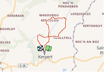
circuit des moulins, Kerpert

ollivier.albert
User

Length
5.7 km

Max alt
266 m

Uphill gradient
132 m
Km-Effort
7.4 km

Min alt
211 m

Downhill gradient
131 m
Boucle
Yes
Creation date :
2024-05-09 12:43:07.616
Updated on :
2024-05-09 14:32:13.959
1h36
Difficulty : Medium

FREE GPS app for hiking
 SityTrail
IGN / Geographical institutes
SityTrail Plus
The world is yours!
About
Trail Walking of 5.7 km to be discovered at Brittany, Côtes-d'Armor, Kerpert. This trail is proposed by ollivier.albert.
Description
Retour aux sources du Trieux et du Blavet. Sous bo8s et chemins creux, tres peu de bitume.
Photos


Positioning
Country:
France
Region :
Brittany
Department/Province :
Côtes-d'Armor
Municipality :
Kerpert
Location:
Unknown
Start:(Dec)
Start:(UTM)
490065 ; 5358313 (30U) N.
Comments