


Boucle Le cluzel

Glurps
User

Length
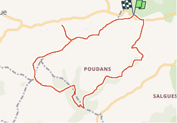
11.6 km

Max alt
307 m

Uphill gradient
129 m
Km-Effort
13.3 km

Min alt
231 m

Downhill gradient
128 m
Boucle
Yes
Creation date :
2024-05-10 08:32:36.0
Updated on :
2024-05-10 11:30:57.894
2h57
Difficulty : Very easy

FREE GPS app for hiking
 SityTrail
IGN / Geographical institutes
SityTrail Plus
The world is yours!
About
Trail Walking of 11.6 km to be discovered at Occitania, Lot, Labastide-Marnhac. This trail is proposed by Glurps.
Positioning
Country:
France
Region :
Occitania
Department/Province :
Lot
Municipality :
Labastide-Marnhac
Location:
Unknown
Start:(Dec)
Start:(UTM)
369812 ; 4916549 (31T) N.
Comments