


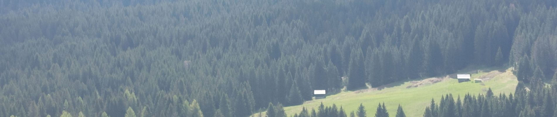
plateau des Gliéres par le pas du Roc

cailloux54
User


Length
6.9 km

Max alt
1595 m

Uphill gradient
662 m
Km-Effort
14.3 km

Min alt
975 m

Downhill gradient
212 m
Boucle
No
Creation date :
2024-05-12 06:40:53.566
Updated on :
2024-05-12 09:27:23.75
2h12
Difficulty : Difficult

FREE GPS app for hiking
 SityTrail
IGN / Geographical institutes
SityTrail Plus
The world is yours!
About
Trail Walking of 6.9 km to be discovered at Auvergne-Rhône-Alpes, Upper Savoy, Fillière. This trail is proposed by cailloux54.
Photos


Positioning
Country:
France
Region :
Auvergne-Rhône-Alpes
Department/Province :
Upper Savoy
Municipality :
Fillière
Location:
Thorens-Glières
Start:(Dec)
Start:(UTM)
290684 ; 5094303 (32T) N.
Comments