


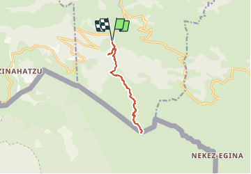

12.3 km | 19.6 km-effort

User


FREE GPS app for hiking
 SityTrail
IGN / Geographical institutes
SityTrail World
The world is yours!
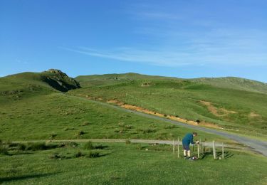
Trail Walking of 12 km to be discovered at New Aquitaine, Pyrénées-Atlantiques, Estérençuby. This trail is proposed by DECHAMPD.
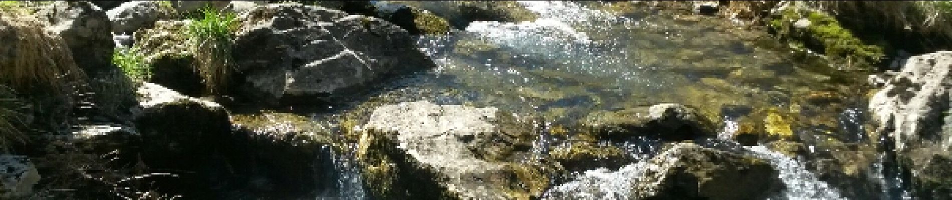
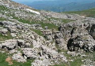
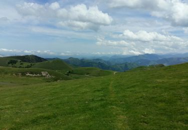
C'est au dessus des sources de la Nive, sur les flancs sud du Pic d'errozate, que se cache ce joyau de Garazi. La grotte (en fait plutot une caverne ou un abri sous roche) est originale de part sa structure.
La grotte est une curiosité naturelle car cette caverne est bien dessinée par un anticlnal en forme de toit dont les states sont parfaitement dessinées. d'une beauté indéniable, Harpéa mérite d'être vue. c'est la montagne basque. Les pasteurs locaux l'ont aménagé en bergerie naturelle.
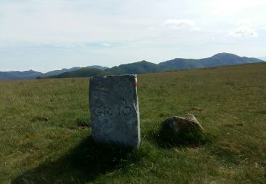
depuis Béhérobie, la source de la Nive, source de Gohocharo, pont Chubigna et la grotte d'Harpéa.
Retour par le même trajet.
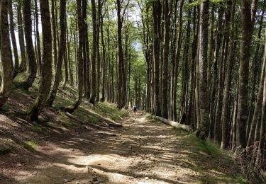
C'est une façon de prendre l'air , tout en visitant un coin sauvage et authentique de Garazi.


Walking

Walking
Walking
Walking
Walking
Walking
Walking
Walking

Walking