


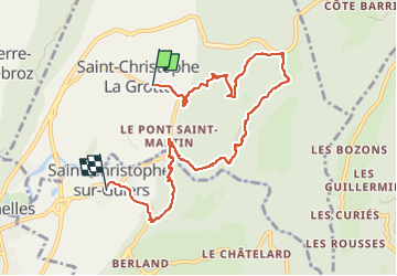

11.1 km | 17.4 km-effort


User


FREE GPS app for hiking
 SityTrail
IGN / Geographical institutes
SityTrail World
The world is yours!
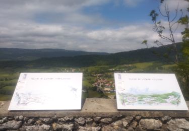
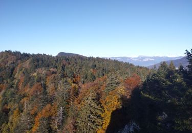
Trail of 8.9 km to be discovered at Auvergne-Rhône-Alpes, Savoy, Saint-Christophe. This trail is proposed by Biquette73.
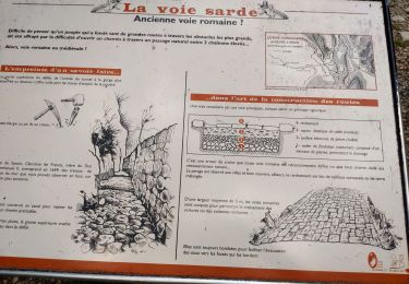
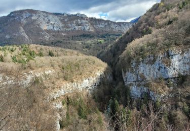
Cimetière de la grotte puis escalier des grottes gerbaix echallion pont st Martin


Snowshoes
Walking
Road bike
Walking

Walking
Trail
Trail
Walking
Walking